Empower
Educators
Search

KS3 Geography · Year 9 · ages 13–14

Year 9 Geography

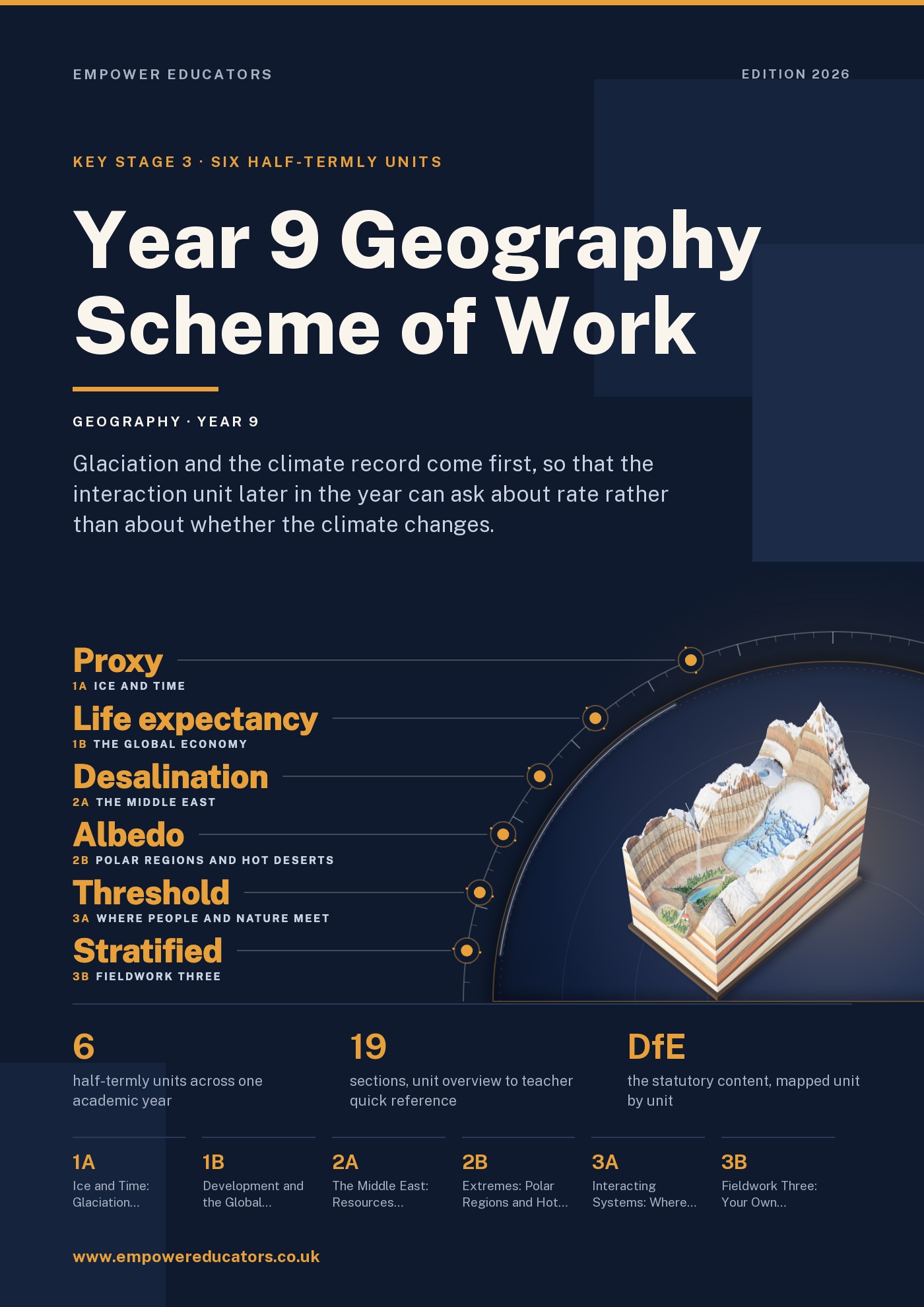
Six half-term units, in the order we teach them: glaciation and the climate since the Ice Age; development and the global economy; the Middle East, its resources and water; polar regions and hot deserts; how people and natural systems interact; and an independent fieldwork enquiry. Below is what each unit asks pupils to produce, the places it uses and the skills it teaches, taken from our Year 9 Geography scheme of work.

The Year 9 resources

How the year is ordered

Six units. Glaciation and the natural climate cycle come first because unit 3a is not honest without them.

Year 9, ages 13–14.

The year, unit by unit

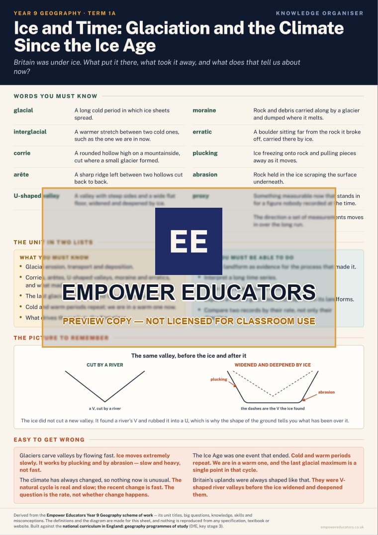
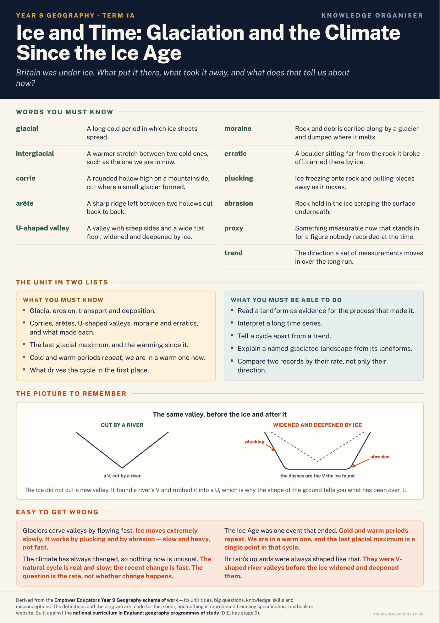
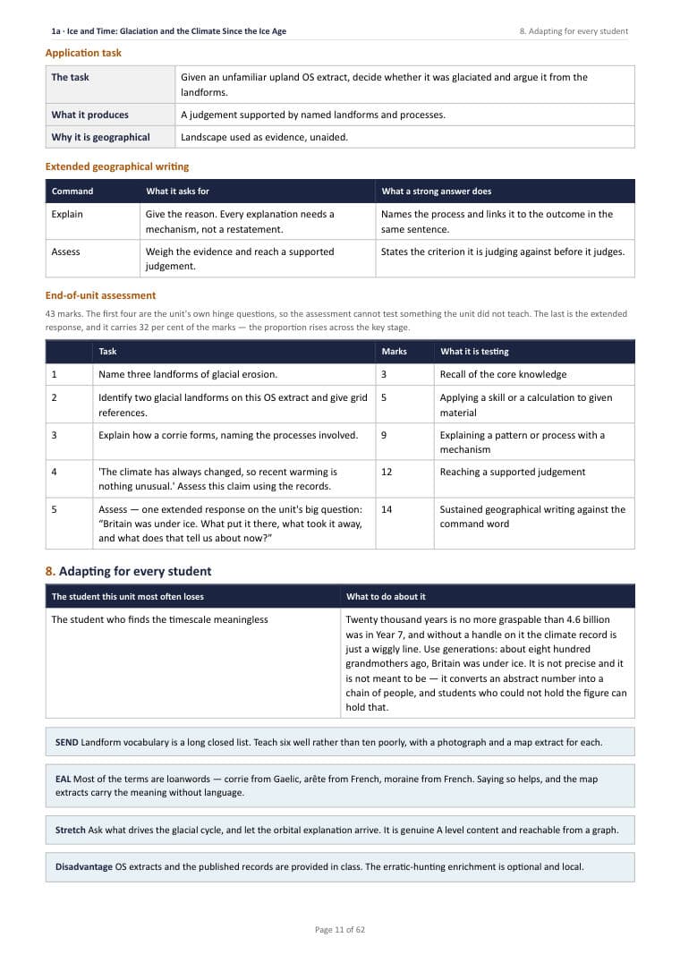
  1. Ice and Time: Glaciation and the Climate Since the Ice Age

    Unit 1a · Autumn 1 · 6 lessons · September – October

    Britain was under ice. What put it there, what took it away, and what does that tell us about now?

    Pupils produce
    An explanation of a named glaciated landscape that uses the landforms as evidence for the climate that made them.
    Places
    One British glaciated upland · the extent of British ice at the last glacial maximum · one present-day glacier.
    Core skills
    Reading landforms as evidence; interpreting a long time series; distinguishing a cycle from a trend.
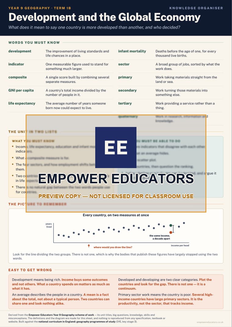
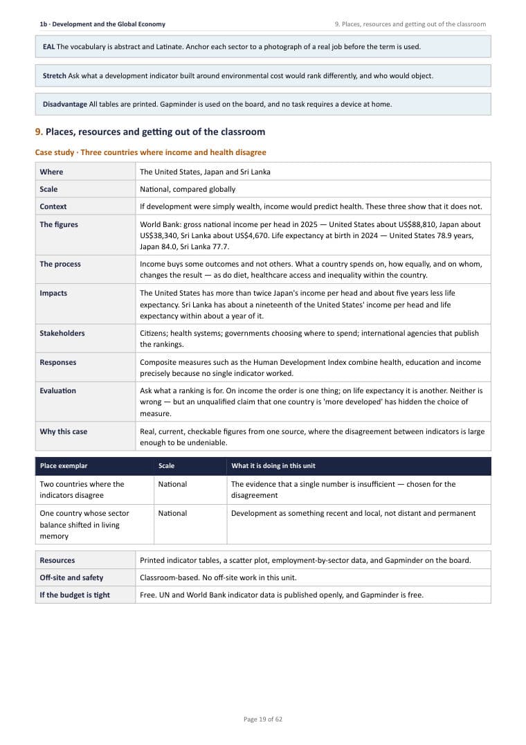
  2. Development and the Global Economy

    Unit 1b · Autumn 2 · 6 lessons · November – December

    What does it mean to say one country is more developed than another, and who decided?

    Pupils produce
    A judgement on whether a single development indicator can be trusted, argued from two countries where the indicators disagree.
    Places
    Two countries where indicators disagree · one country whose sector balance has shifted within living memory.
    Core skills
    Comparing indicators; recognising what an average hides; reading a scatter plot; ranking and then questioning the ranking.
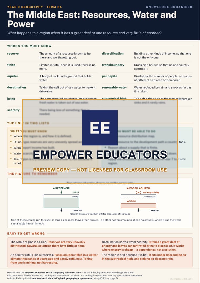
  3. The Middle East: Resources, Water and Power

    Unit 2a · Spring 1 · 6 lessons · January – February

    What happens to a region when it has a great deal of one resource and very little of another?

    Pupils produce
    An explanation of how one resource has shaped a country's development, and what happens when the resource is finite.
    Places
    The Middle East · one Gulf state · the Tigris–Euphrates basin.
    Core skills
    Reading a resource distribution map; linking a resource to a development path; reasoning about a finite supply.
  4. Extremes: Polar Regions and Hot Deserts

    Unit 2b · Spring 2 · 6 lessons · February – March

    Two places almost nothing lives in, for opposite reasons. Or are they opposite?

    Pupils produce
    A comparison of the two environments that explains their similarity — both are deserts — from entirely different causes.
    Places
    The Sahara · the Arctic · Antarctica.
    Core skills
    Applying a cause learned two years earlier to a new case; comparing on a shared definition; reasoning about a feedback loop.
  5. Interacting Systems: Where People and Nature Meet

    Unit 3a · Summer 1 · 6 lessons · April – May

    What does human activity actually depend on, and what happens when it changes the thing it depends on?

    Pupils produce
    An argued answer on one interaction, using evidence drawn from at least two earlier units of the key stage.
    Places
    One catchment where land use changed the flood regime · one deforested region · the students' own settlement.
    Core skills
    Building an argument across units; using evidence from more than one source; separating a mechanism from a value judgement.
  6. Fieldwork Three: Your Own Question, and the Tools to Answer It

    Unit 3b · Summer 2 · 6 lessons · June – July

    Can you frame a geographical question worth answering, and then answer it?

    Pupils produce
    An independent enquiry: the student's own question, their own method, their own data mapped in a GIS, and a conclusion with a stated confidence.
    Places
    One urban centre — human, busy, and a third kind of place after the school grounds and the river.
    Core skills
    Framing a question; choosing a sampling strategy and justifying it; entering and mapping data in a GIS; evaluating a method honestly.

How it meets the key stage 3 programme of study

The scheme maps each requirement of the statutory programme of study for key stage 3 (Department for Education, 2013) to the unit that teaches it. Pupils should be taught to…

Locational knowledge: extend their locational knowledge and deepen their spatial awareness of the world's countries, using maps of the world to focus on Africa, Russia, Asia (including China and India), and the Middle East, focusing on their environmental regions, including polar and hot deserts, key physical and human characteristics, countries and major cities
2a the Middle East · 2b polar regions and hot deserts — the environmental regions the statement names explicitly.
Place knowledge: understand geographical similarities, differences and links between places through the study of the human and physical geography of a region in Africa and a region in Asia
Revisited in 3a, where both Year 8 regions are used as evidence rather than restudied.
Human and physical geography: understand, through the use of detailed place-based exemplars at a variety of scales, the key processes in: physical geography relating to: geological timescales and plate tectonics; rocks, weathering and soils; weather and climate, including the change in climate from the Ice Age to the present; and glaciation, hydrology and coasts
1a glaciation, and the change in climate from the Ice Age to the present.
Human and physical geography: understand, through the use of detailed place-based exemplars at a variety of scales, the key processes in: human geography relating to: population and urbanisation; international development; economic activity in the primary, secondary, tertiary and quaternary sectors; and the use of natural resources
1b international development and economic activity in all four sectors · 2a the use of natural resources.
Human and physical geography: understand how human and physical processes interact to influence and change landscapes, environments and the climate; and how human activity relies on the effective functioning of natural systems
3a — the whole unit. This is the statement the key stage builds to and it is argued here with evidence drawn from Years 7 and 8.
Geographical skills and fieldwork: build on their knowledge of globes, maps and atlases, and apply and develop this knowledge routinely in the classroom and in the field
Throughout.
Geographical skills and fieldwork: interpret Ordnance Survey maps in the classroom and the field, including using grid references and scale, topographical and other thematic mapping, and aerial and satellite photographs
1a a glaciated upland read off an OS sheet · 3b for the enquiry sites.
Geographical skills and fieldwork: use Geographical Information Systems (GIS) to view, analyse and interpret places and data
3b — the class's own fieldwork data entered as a layer and mapped, which is what the statement describes.
Geographical skills and fieldwork: use fieldwork in contrasting locations to collect, analyse and draw conclusions from geographical data
3b — an urban centre: human, busy, and the third of the three contrasting locations.

This year does not restudy the African and Asian regions taught in Year 8. They return in unit 3a as evidence in an argument rather than as topics, which is the intended use of a region study once it is secure. Everything else in the programme of study has been met by the end of this book; the key stage map at the back shows each statement against the year that carries it.

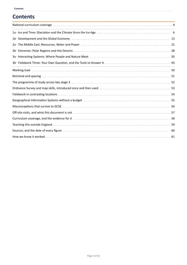
The Year 9 Geography resources

Two PDFs sit behind this page, and they are meant to be used together: the scheme of work to plan the year, the knowledge organisers to put in front of pupils.

Cover of Year 9 Geography Knowledge Organisers

KS3 Geography · Year 9 · six A4 sheets£3.99

Year 9 Geography Knowledge Organisers

Full description on the Year 9 Geography knowledge organisers page.

Written to Empower Educators Year 9 Geography scheme of work·6 pages, 6 sections·For geography teachers and heads of department. Printed one per pupil

See every page · part-blurred

🔓 Buy to remove the watermark · print-ready

One purchase covers the school that buys it · PDF straight after payment · Refunds

Where to go from here

Questions

  1. What does Year 9 Geography cover?

    Six half-term units, in the order they are taught: Ice and Time: Glaciation and the Climate Since the Ice Age, Development and the Global Economy, The Middle East: Resources, Water and Power, Extremes: Polar Regions and Hot Deserts, Interacting Systems: Where People and Nature Meet and Fieldwork Three: Your Own Question, and the Tools to Answer It.

  2. What do pupils produce in Year 9 Geography?

    An explanation of a named glaciated landscape that uses the landforms as evidence for the climate that made them; A judgement on whether a single development indicator can be trusted, argued from two countries where the indicators disagree; An explanation of how one resource has shaped a country's development, and what happens when the resource is finite; A comparison of the two environments that explains their similarity — both are deserts — from entirely different causes; An argued answer on one interaction, using evidence drawn from at least two earlier units of the key stage; An independent enquiry: the student's own question, their own method, their own data mapped in a GIS, and a conclusion with a stated confidence.

  3. Does Year 9 Geography meet the National Curriculum?

    It maps each requirement of the statutory programme of study for key stage 3 (Department for Education, 2013) to the unit that teaches it, and on this year the scheme is plain: “This year does not restudy the African and Asian regions taught in Year 8.”

Your basket

Nothing in it yet.

Total £0.00

Checkout

Your download is ready straight after payment. Downloading it ends the 14-day right to cancel; a file that is faulty or not as described is always refunded.Refunds