Geography · Key Stage 3 · £4.99
Year 8 Geography
Scheme of Work
Six half-termly units across one academic year. The two statutory region studies are both great river basins (the Nile and the Ganges), chosen so that similarities, differences and links can actually be argued rather than listed.
£4.99The Year 8 scheme: 6 half-termly units, 60 pages
- A4 PDF
- first 8 pages free to read
- instant download
Teaching all of Key Stage 3? Year 7, Year 8 and Year 9 as one set: £11.99, saving £2.98.
One purchase covers the school that buys it. Print it, copy it, hand it round your department. Not for passing to other schools or uploading anywhere.
PDF download, ready straight after payment. Downloading it ends the 14-day right to cancel; a file that is faulty or not as described is always refunded. Refunds
Read before publication by serving senior leaders, in school.
5.0 from 24+ reviews on Google
Schools that have bought from Empower Educators include Nottingham High School, Northampton High School GDST and Sutton Valence School.
Complete your Geography
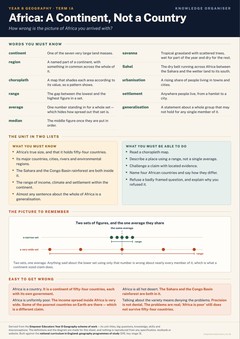
The whole key stage: KS3 Geography scheme of work
Everything else this site has for Geography: Geography teaching resources
- 1aAfrica: A Continent, Not a Country
- 1bA Region in Africa: The Nile Basin
- 2aPopulation and Urbanisation: Where Everyone Is Going
- 2bAsia: Russia, China and India
- 3aA Region in Asia: The Ganges Basin, and What It Shares with the Nile
- 3bFieldwork Two: Rivers, Coasts and Measuring the Real Thing
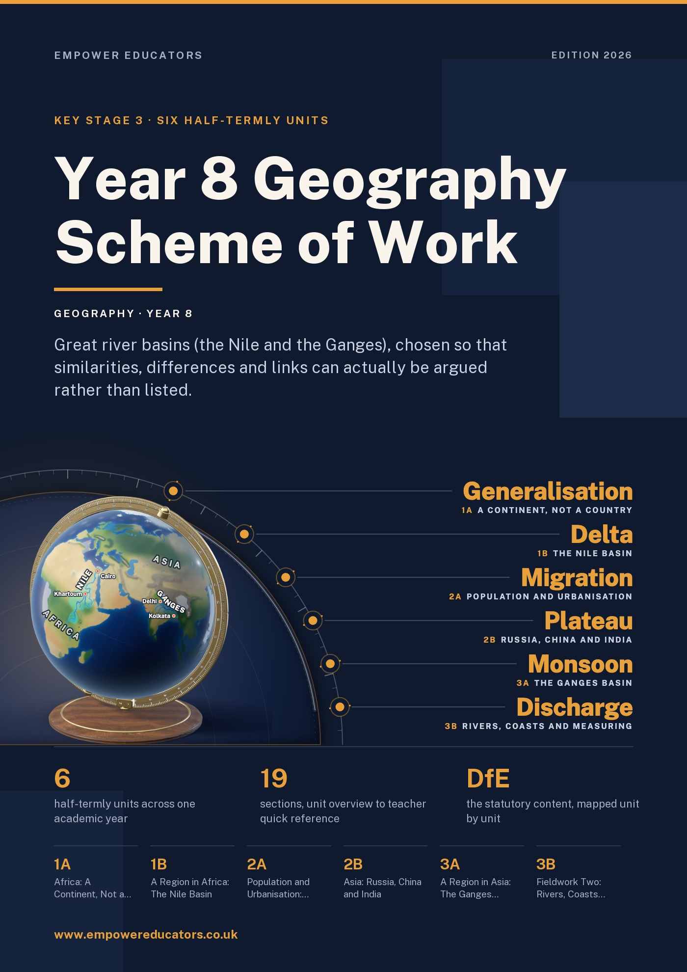
Ten sections per unit, in the same order every time. One row per lesson. Six units: two that locate the statutory focus regions, two that are the statutory region studies, one on population and urbanisation, and one that takes the class to a river.
Every unit carries a structured case study, an end-of-unit assessment, a knowledge organiser, named map, GIS and data tasks, and the geographical concepts it is built on. Every statistic is given with its source and the year it refers to.
- Written to
- The statutory programme of study for key stage 3 geography (DfE, 2013)
- Intended for
- heads of geography, subject leaders and every teacher who has to deliver it
- Extent
- 60 pages · 19 sections
The sequence
What this scheme of work covers, unit by unit
The 6 units of the Year 8 Geography Scheme of Work, in teaching order, with the term each one runs in and the question it is built to answer.
1a
Africa: A Continent, Not a Country
Year 8 · Autumn 1 · 6 lessons · September – October
How wrong is the picture of Africa you arrived with?
1b
A Region in Africa: The Nile Basin
Year 8 · Autumn 2 · 6 lessons · November – December
What does a river do to the people who live along it?
2a
Population and Urbanisation: Where Everyone Is Going
Year 8 · Spring 1 · 6 lessons · January – February
More than half the world now lives in cities. What changed, and what does it cost?
2b
Asia: Russia, China and India
Year 8 · Spring 2 · 6 lessons · February – March
What does it take to govern a country that spans eleven time zones, or to feed one and a half billion people?
3a
A Region in Asia: The Ganges Basin, and What It Shares with the Nile
Year 8 · Summer 1 · 6 lessons · April – May
Two great rivers, two enormous populations. Why is one basin short of water and the other drowning in it?
3b
Fieldwork Two: Rivers, Coasts and Measuring the Real Thing
Year 8 · Summer 2 · 6 lessons · June – July
Does the river actually do what the textbook diagram says it does?
Look inside
Real pages, straight from the PDF
Click any page to see it full size.
Contents
All 19 sections
Taken from the book’s own contents page, so the page numbers are the real ones.