All 4 sheets — Tectonic hazards, Climate change, Urbanisation and Tropical rainforests — for £3.99. One landscape page per topic, every claim sourced and every image licensed.
4 sheets · one A4 landscape PDF each · instant download
Bought once for the set, not per sheet. Photocopy them for your classes freely — keep the running foot on the page, which carries the image credits the licences require. One purchase covers the school that buys it. Downloading it ends the 14-day right to cancel; a file that is faulty or not as described is always refunded. Refunds
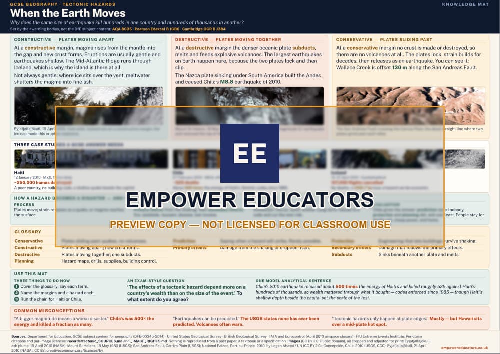
Why the same size of earthquake kills hundreds in one country and hundreds of thousands in another. That is the question the marks are actually for. The three plate margins across the top, each with a satellite or field photograph; three case studies a GCSE answer needs; then the chain from process to impact to response to evaluation, and where planning, prediction and protection break it. Nine terms to define, a worked exam-style sentence, and the misconceptions that cost marks.
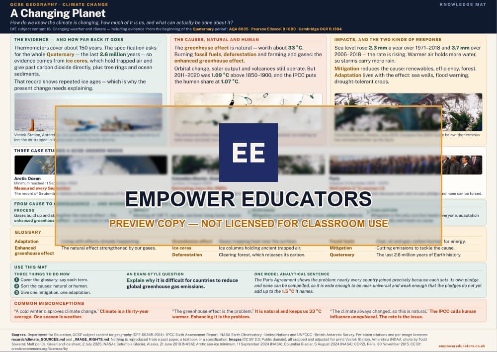
How we know the climate is changing, how much of it is us, and what can actually be done. Kept apart, because a top-band answer does not blur them. Ice cores and the Quaternary record, the natural and human causes named separately, then mitigation and adaptation as the two distinct responses. Three case studies, the chain from cause to consequence, eight terms to define, a worked exam-style sentence, and the misconceptions that cost marks. The photographs are NASA and NOAA science imagery.
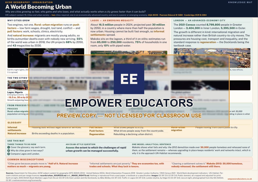
Why cities are growing so fast, who gains and who loses, and what actually works when a city grows faster than it can build. Push and pull factors and natural increase kept distinct. Then the two cities the specification requires, one emerging and one advanced, with the pattern behind both. The chain runs from process to policy and then to how you judge the policy, which is where the evaluation marks are. Six terms to define, a worked exam-style sentence, and the misconceptions that cost marks.
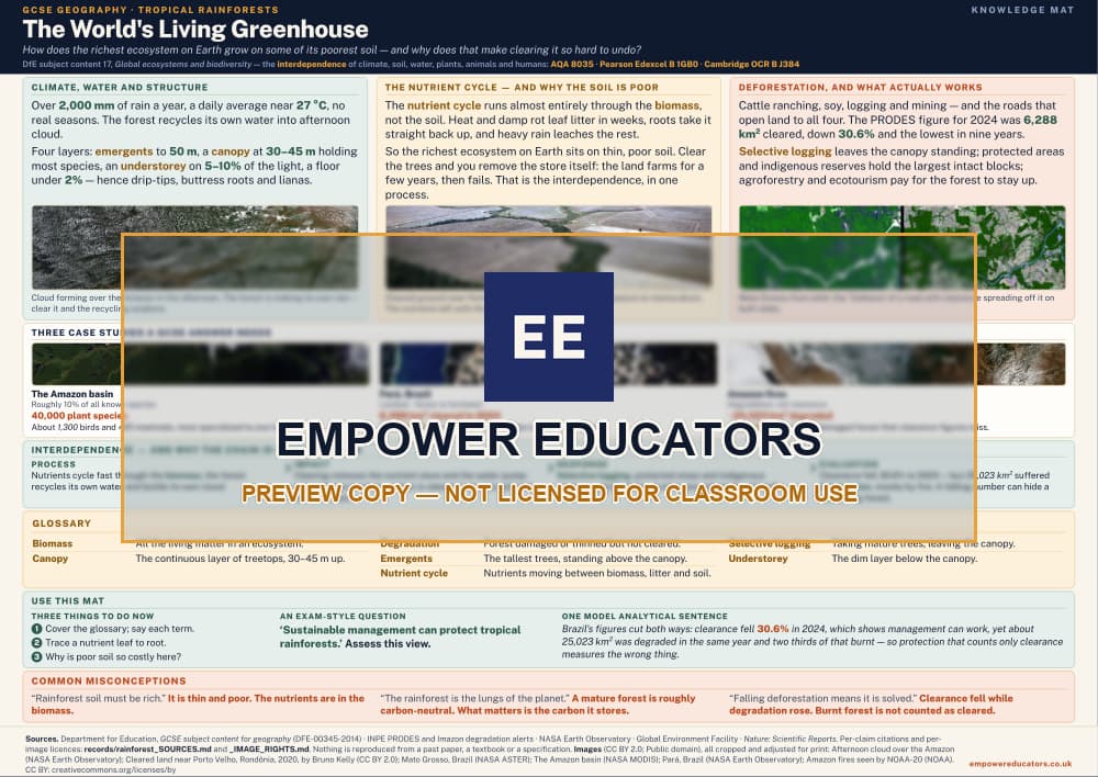
How the richest ecosystem on Earth grows on some of its poorest soil, and why that makes clearing it so hard to undo. The layered structure and the water cycle, then the nutrient cycle that explains the paradox, then deforestation and which responses hold up. Three case studies, interdependence drawn as a chain, seven terms to define, a worked exam-style sentence, and the misconceptions that cost marks. The photographs are satellite and science imagery, including the fishbone pattern of road-led clearance from orbit.
The previews above are the full sheets, watermarked. Where a sheet carries photographs, every one is public domain worldwide or licensed CC BY, verified per image against the licence itself rather than a label, and the running foot names every creator, records that the images have been cropped and adjusted for print, and links the licence; figures are drawn in code for the sheet, and extracts are written for it or verified against a public-domain text. Nothing on any sheet is reproduced from a past paper, a mark scheme, an examiner report or a specification, and Empower Educators is not affiliated with any awarding body.
Cookies
This site works the same either way. Measurement — Google Analytics and Microsoft Clarity — only runs if you say yes, and it is used to see which resources people actually reach.Measurement only runs if you say yes.What is collected.